
Now SPOT integrated into Google Earth
What was.
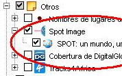
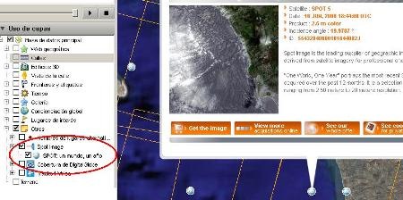
To date, Google Earth kept SPOT images only as a catalog form, by clicking on the option "other, Spot Image".
This activates a grid of the different sockets and when you see the properties of the ball you can see conditions and characteristics of the data.
The bad
This was only a catalog, it could not be displayed on the globe, what remained was to select the type of image, coverage and pay. After having the image, it could not be loaded from Google Earth in a georeferenced way.
The good
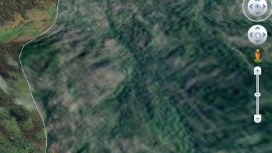
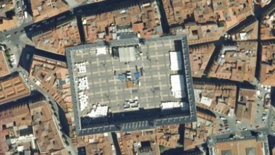
However has already been announced that there is availability of SPOT image service for the last 3 years from Google Earth "ready for Google Earth". The example shows the fires in California.

With this service the images are served by means of a kml that directs the coverage "ready for Google Earth" or in DIMAP GeoTIFF format
The images may be available between 6 and 8 hours after capture, which allows you to see a satellite image of the previous day, can also be requested for download via FTP or DVD copy.
The ugly
Only for Google Earth Enterprise users, as we know, the different licenses of this tool are:
Free Google Earth, Google Earth Plus ($ 20 annually), Google Earth Pro ($ 400) and Google Earth Enterprise Client… that not many have an interest in knowing the price but in this post we had talked of the different functionalities that can be achieved by version.
Coming
Although it is not a step that excites us all, it is an interesting leap to what we have been waiting for a long time: A functionality through which you can create a georeference of an image towards Google Earth from the outside, of course it would be best if Google implement the ability to read the standards that already exist in existing formats (ecw, tiff, jpg2000, img and others) as do the other GIS applications
We also expect this to happen starting next year with GeoEye, and there if we would all be very interested.


Naresh Kumar Jila Sikar Rajsthan
thanks for the clarification, it's already corrected
Hello,
You're wrong with GE Plus and Ge Pro prices: o)