
View mesh lat / long in Virtual Earth
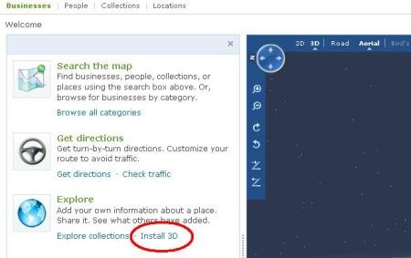
Virtual Earth It can be viewed in a version similar to Google Earth, although not desktop but on a web platform, activating installing the 3D plugin ... it gives a bit of a can because you have to authorize the plugin but it finally works.
Now they have added a kml file that allows to see the mesh of latitudes and longitudes at each 10 and every 30 degrees.
Although for some strange reason the kml format is not compatible with Google Earth, because it is not displayed well when loading it from this program.

Virtual Earth has a lot to work on this, because you can only see one 3D file at a time, and to return to normal view 3D you have to close the window because there is no control of layers like in GE ... and although we strongly criticize Google Earth, to activate the grid you just have to do "see / grid"


