The UP42 geospatial development platform exhibits at the Geospatial World Forum in Rotterdam
Berlin-based one-stop-shop for geospatial data will show how to build and scale solutions using geospatial data
April 27, Rotterdam: UP42, a leading development platform for building and scaling geospatial solutions, will participate in the Geospatial World Forum (GWF) 2023 as cosponsor y exhibitor (Booth No. 13). GWF will take place in person from May 2-5, 2023 in Rotterdam, The Netherlands.
With the theme “Geospatial Caravan: Embracing One and All”, GWF 2023 will bring together the global geospatial community, allied industries and the user community. The objective is to know how we can simplify the technological, institutional and workflow complexity and increase the impact for the good of society.

“As a growing company, we are delighted to be an active part of the international geospatial community,” said Sean Wiid, CEO of UP42. “Joining forces with the Geospatial World Forum is a critical step in raising awareness of our mission to make geospatial data more accessible to all – we need to come together as an industry to make that happen.”
On May 3, 2023, at 10:00 am CET, Sean Wiid will participate in the plenary panel discussion “Advancing Geospatial Knowledge Infrastructure in the Global Economy and Society” along with other key speakers.
“We are humbled by the continued trust that UP42 places in our team and are privileged to join hands again in our common goal of transforming the geospatial industry. With the support of major industry players like UP42, we are excited and looking forward to taking the Geospatial World Forum to another new height,” he says. Annu Negi, Senior Vice President of GW Events.
For all media inquiries or to schedule an interview with UP42 CEO Sean Wiid at GWF, please contact:
Viviana Laperchia
Senior Manager of Public Relations and Communications, UP42
viviana.laperchia@up42.com
About UP42
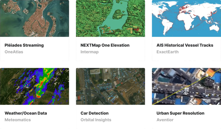
We founded UP42 in 2019 with a clear purpose: to provide quick and easy access to geospatial data and analysis. You'll get the world's leading providers of optical, radar, elevation and aerial data, all in one place. Our developer platform offers flexible APIs and a Python SDK to help you build and scale your solutions. Search the catalog for existing images or order a satellite to capture the desired area. Whatever your use case, UP42 is the one stop shop for all your geospatial data needs. visit us at www.up42.com.
About the World Geospatial Forum
For more than a decade, the Geospatial World Forum (GWF) has been the geospatial industry's annual premium platform connecting more than 1500 professionals and leaders representing the full spectrum of the global geospatial and IT community, including industry. , public policies, civil society, end-user communities and multilateral organizations. Its collaborative and interactive nature has made GWF a “conference of conferences”, offering a unique and unmissable experience for geospatial professionals from around the world. Learn more about the conference at www.geospatialworldforum.org


