Map integration in web applications
Patched link.
Little by little web applications seek to adapt new technologies in their functionalities, mainly the integration of maps and smart searches. The fact that Google, Yahoo, Microsoft and other web giants have provided map services makes the user used to depending on them… online.
This is the case of the new http://www.Vuelosbaratos.es, an independent flight comparator, with a history dating back to 2004 providing the facility, as its name suggests, to find ways to travel and stay at the best prices.
Among the best functionalities that have been added to the service are:
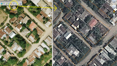
1. Adaptation of map interfaces
Travelers are accustomed to maps, this makes the decision of Cheap Flights by this type of functionalities is welcome, of course that having integrated it into the Google API makes it very familiar.

2. Agile Searches
Very functional, with an AJAX interface, if I want to make a trip, to give an example: Tarragona, Catalonia, Spain; the service returns me the options of traveling both in air options, as in trains and buses.
With these alternatives you can find travel service providers, since Cheap Flights does not sell, it is only a contact that provides the best alternatives.

3. Relevant statistics and graphs
The calendar service allows us to know the most searched dates and times, which can help us choose the time in which we can plan trips ... whether we like to travel in high or low season. Another practical feature of this is that you can find the most sought-after flights or transport services within a time range, useful to know how risky it is to lose the opportunity to travel due to high demand.

The site is in Spanish e English, other pages of the network Cheap flights they are in different Iberian languages and other languages.