Three months after the beginning of the Fourth Conference, which will be held from 10 to 12 in March, this is the proposal of what we could see there.
| IDE / OGC |
- Open Source IDE: Path to INSPIRE.
- Infrastructure of Spatial Data of Venezuela, an IDE 100% free software.
- Integration of the WMS-C recommendation into preexisting standards in the IDE.
- Catalog of geographic data MDWeb: application to the Languedoc - Roussillon region (France).
- WMSCWrapper. WMS-C OpenSource implementation for tessellated WMS services.
- Development of a railroad IDE based on Free Software.
- Improvements in the WFS client of gvSIG.
- Publication and use of SQL scripts on transactional WPS servers.
- Geoservices of AMB and migration to OpenStreetMap.
- OpenSearch-geo: The simple standard for geographic information seekers.
|
| SEXTANT |
- Integration of SEXTANTE in Gearscape.
- Project BeETLe: approaching SEXTANTE to the world ETL.
- Anisotropic model for calculating minimum cost routes with gvSIG and SEXTANTE.
|
| GIS tools |
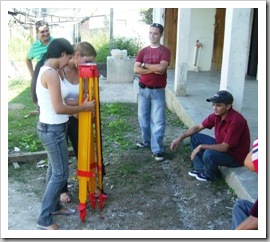
- Development of tools applied to civil engineering and topography in gvSIG.
- Monitoring tools with geographic decision-making capabilities.
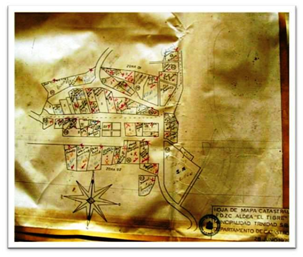
- Management and publication of the Property Registry data using free software.
- New features of LOCALGIS-DOS.
- IDELabRoute: Library for the management of scalable graphs.
- Geolocator of thematic news: the case of natural risks.
- Geo-content enabler in content managers: CMSMap.
|
| Archeology |
- Information system and management of historic roads of Guía de Isora, Tenerife.
- The use of Free Software in the study of the morphology of ancient landscapes: the example of cost-distance modeling applied to archaeological research.
- Old landscapes and new technologies: A reconstruction of the Holocene landscape with gvSIG and Sextante.
|
| GIS Projects |
- Proposal of a GIS for use in the management of coastal zones.
- Use of free software applied to GIS. A case study in the Ministry of Environment.
- Development of a GIS for the analysis of fire patterns in houses.
|
| Applications / Developments |
- IDELab MapstractionInteractive: Universal and Polyglot API.
- Ecoserveis.
- LiDAR data server and different clients in free software.
- Guifi.net: The free, open and neutral telecommunications computer network.
|
| 3D |
- Customized development of 3D SIG applications.
- 3D realism applied to municipal management
- StereoWebMap in gvSIG an improvement in the use of real 3D through desktop GIS.
- A 3D balloon with advanced spatial analysis capabilities.
|
| General |
- gvSIG Sensors.
- EIEL and Geographic Information Systems.
- Extension and use of KML for annotation, georeferencing and distribution of MIME type resources.
- gvSIG Mini and Phone Cache.
- Cases of business applications of Web Mapping and Free GIS.
- New challenges of the gvSIG Project: from the technique to the organization and economics of a free software project.
- OpenStreetMap Spain: activities 2009-2010.
- Signergias: GIS project coordination network Libre.
|
 The contribution of these conferences is valuable in concentrating efforts on the GIS issue under the opensource line, which, since there are many, risk their sustainability. On December 15, 2009, the advanced registration period ends, here you can see more details of the conferences and workshops.
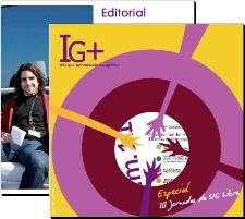
Incidentally, it is worth taking a look at the Monographic IG +, which in its Copy 11 Brings us a special of the III Days.