
Connect lineas with Microstation Geographics
 Here is a trick known by some Microstation users, and that came out at the end of a class this week.
The work that I left to the students was to draw all the hydrology on the cartographic sheet: rivers, ravines, lagoons ...
Some drew "smart lines" without associating, so that in the end they had a lot of loose lines.
So we use the command "connect linework", which comes in the menu "tools, geographics, topology creation" although in Bentley Map XM comes in "topology cleanup"
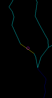
For this, a fence is created over the whole area where the adjustment is desired, then the command is activated and a click is made inside the fence.
![]()
 and ready, the result is that it associates all the linear objects between vertices and converts them into linestrings or polylines.
Subsequently, for purposes of joining polylines manually is the command "create complex chains"

Ah, by the way, this must be done after topological cleaning, at least segmentation at intersections.
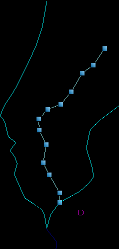
 And then to ensure that there are no strange things, the rainbow masking is activated that paints in different colors each object to visually detect it.


Of course XM brings it. Clarifying, that just as it was owned by Microstation Geographics, it is a property of Bentley Map.
The common version of Microstation XM does not have it.
It is located in the Topology Cleanup toolbar, as shown in
Hello! that I want to know if you can use the connect lines in the xm what happens I have the geographics running on a xp machine but the xm in another machine view and I want to know how to connect some lines in the xm equivalent to connect lines in the xm greetings !!!!
If you are interested in exchanging links (technology, computer, related) contact me at link.exchange.mariana@gmail.com
Hello,
I will be most grateful to whoever can help me to get the following.
Dimension field measurements of bounded points and break lines.
TIN built with any of the software associated with Microstation
Original contour lines
Smoothed level curves WITHOUT RETAINING.
The size of the project could be a few thousand points, between bounded points and vertices of break lines. As for the terrain, the more complicated, the better.
Since my Microstation is 2 version (do not laugh, please), I would appreciate if the data were delivered in ASCII files. The format can be any, provided the files are clearly labeled and accompanied by a short description.
I understand that I'm asking for a big favor. But I need it for a comparative study that will not bring me any vile metal. I will acknowledge the contribution prominently in an eventual article that will report the results of the article.
Thank you for your attention.