
Call WMS services from Microstation
Web map services are known as vector or Raster cartography deployments served via the internet or intranet using the WMS standard promoted by the TC211 Commission of the OGC, Open Geospatial Consortium. Ultimately, what this service does is display one or more layers as an image with a symbology and transparency that is defined in the system that sends the data. This can be shipped with ArcGIS Server, Geoserver, MapServer, or many others.
There are many reasons to implement it, one of which is to serve data outwards, but it is not the only one.
In the internal case, instead of users calling an orthophoto stored in one place as individual files, (of which a copy could be stolen), an image service can be created that would make things easier. They no longer need to be calling each image of a mosaic, but the system displays what corresponds according to the display.
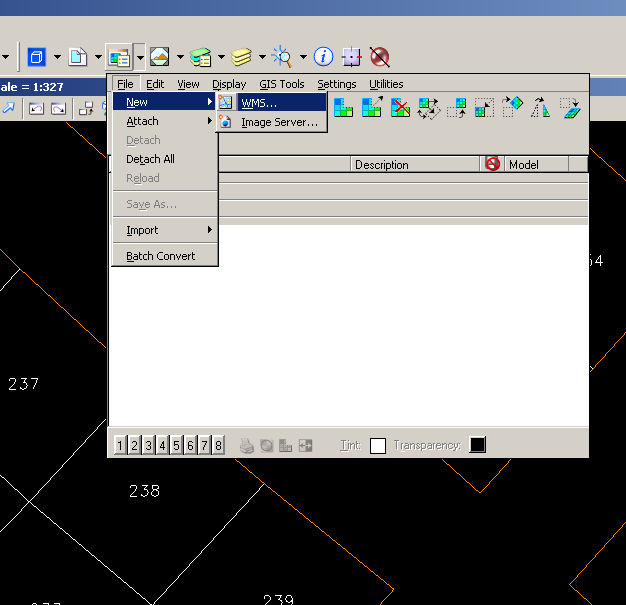
Let's see how Bentley Microstation does it.
This is done from the Raster Manager, selecting the option to create a new WMS.
We must indicate the address of the WMS service, in this case:
For example, if I request the services of the cadastre of Spain, using this address:
http://ovc.catastro.meh.es/Cartografia/WMS/ServidorWMS.aspx
I return all possibilities of data served via wms
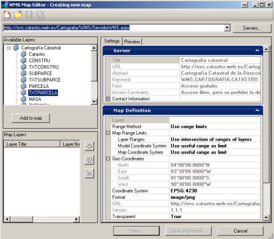
The button "Add to map” is used to choose one or more layers. If several are added, they will all come as a single service, in the order that they are decided here. If they are added separately, they can be turned off separately.
It is also possible to save the image format, change the coordinate system and display coordinates.
Then there is the button to save and continue editing (Save...) and to save and attach (Save and Attach...) Microstation what it does with this, is to create an xml file where the data call properties are stored, this has extension .xwms.

Then only the xwms files are called when they are required, and it's like having a common raster layer with the option to change order, transparency, etc.
It is clear that the WMS service is read only, as it is a representation in the form of an image. To call vector services, one should call Web Feature Services (WFS), with which it is possible not only to consult tabular data and to thematize but also to edit. But that is the subject of another article and another story that in the case of Bentley already has its days.


