
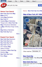
Ask maps surrenders to Microsoft
Some time ago we talked about six Different alternatives of online map services; Well, one of them must be subtracted and another endangered.
Goodbye Ask maps
Ask has decided to surrender, now it shows Virtual Earth on its page, which does not mean that Microsoft also decides to buy the shit minimum portion of search engine that you can have because in Live.com searches links to Ask are displayed.
Recall that a few days ago Virtual Earth opened the opportunity to offer information to those who believe they had something of importance, this does not leave out companies that were once strong, as we see Ask.com is doing
 According to one of its evangelists, the acquisition of this type of small fish can include sites such as YellowPages.com, Superpages.com, and WhitePages.com; There are many as creative as Pict'Earth that here they have a good opportunity to sell their ideas ... or data.
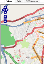
Goodbye Open Street Maps?
The other platform that is in danger of extinction is Open Street Maps; a good idea to build maps in wiki form. The blow has been given by Google when launching its Mapmaker, so that users collaborate in the construction of maps on their images. And even though Many will complain that Open Street Maps was being sabotaged, Google has made an agreement for several years with Tele Atlas for mapmaker data to be integrated there.
 OSM may not die, but it will have a competitor with volunteer collaborators and a well-founded business model.
In these times when no one works for free (for a long time), the malice of the monopolies casts doubt on the good intentions of wiki initiatives. As a friend over there said,
... users can collaborate with Google, give their content for free, giving up all their rights, so that Google passes it to Teleatlas and TomTom charges you 180 euros for the next renewal of the mapping that your car's GPS will need on the next year.
Good or bad?
Just think this:
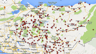
Open Street Maps is built collaboratively, if you collect data with a submeter precision GPS and upload it, they will validate or deny the data based on your metadata ... at least in a comparative way. Google values your data if they stick with their orthophoto, with sub-thirty-meter relative precisions.
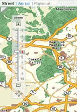
Ask was about the infrastructure of 'Carta, which at the discretion of some had cartographic thinking conditions and passed to an infrastructure oriented more towards the "geographical web"


Aja, sir, it's strange to see you around here.
The neophytes but fanaticos of the subject we thank the gesture of sharing the results of each smoke
Perhaps the danger of extinction sounds strong, but many initiatives of collective dynamics have problems in time to sustain themselves ... if there is no business involved.
Suddenly they do not die like that, but we've seen perversion cases like Mysql, where we all collaborate and SUN got it for a billion.
And at the other extreme, ww3.org tries to exist there in anonymity and charity.
It seems to me an outrageous thing that OSM is in danger of extinction. Precisely seeing the terms of the Google license give more desire to contribute to OSM. By the way, Wikipedia is deathly wounded due to other commercial encyclopedias out there?